bc north coast anchorages
In 2024 we traveled through the British Columbia North Coast to get to us se alaska, we gathered notes on several anchorages that we've stopped at on this page.
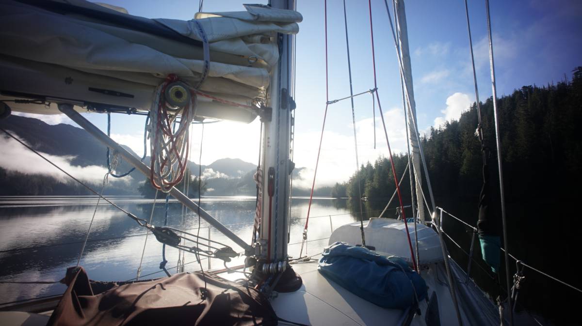
See also more detailed posts: prince rupert.
To view all of stops, see Summer 2024 route
Clothes Bay
We anchored just north of Star Island (52°34.357'N, 128°30.887'W), south of the rocky ledge that dries on low tide on the north shore. We stayed here for 4 days, waiting for good weather to get to Bella Bella. We had wind come out of every direction while here, the protection was good, but in southerlies the wind curls around the island, and can gain speed, making it a bit breezy. The holding was good. This particular anchoring spot gets a lot of boat wakes, a lot of boats used the passage to the east to go to/leave Klemtu. This anchorage is close enough to Klemtu that there is excellent cell coverage. It's a very pretty spot, we could hear the sound of water rushing in the forest, from a stream- a very pleasant sound. This anchorage is overall very protected, we didn't have winds above 25 kts though.
Bone Anchorage
The problem with sailing in Laredo Channel is that there aren't many places to tuck in on the way. Phillip Narrows has a shallow entrance and a tidal stream, others are exposed to any south wind, or temporary, so we pushed on, and chose to wander into the very far Bone Anchorage(52°50.457'N, 129°0.641'W) at the very head of Racey Inlet on Princess Royal Island. It's 5 NM from the entrance, a long way, made longer by the fact that a perpetual current runs in here, or at least it did while we were there. The culprit? A set of falls at the head of the bay. We were there on the 26th of May, with heavy rain almost everyday, feeding the mountains and giving falls a boost. We had no other anchoring option, so we pushed on, even with 1 knot of current against us. There are a few rocks to avoid, but nothing too problematic. Carne Bay is another anchorage that is just before Bone, but we figured we'd go all the way to see what the anchorage was like. We're glad we did, because it's a beautiful, wild place. Tucked behind an island, with some falls ahead, it is big enough to accomodate a few boats and has good anchoring depths, and good holding. It's well-shieled from weather too.
The issue with this anchorage is that we had no VHF reception, zero, couldn't check the weather outside. Evidently, there is no cell reception either, it's too well tucked.
Patterson Inlet
There are many places to drop the hook in Principe Channel, we chose Patterson Inlet(53°27.394'N, 129°47.169'W) on Pitt Island, even if its 3 NM from the entrance. The winds were blowing out of the SW, 15-25, but they died down as we crawled into our anchorage. The entrance channel looks narrow on a chart but it is fine, there are no dangers on the sides either, making it fine to enter in poor weather.
A sign reading Patterson Inlet, carved of wood, is nailed to a tree on the way in. The anchorage is nestled between big mountains, making for a very dramatic entrance. We anchored in the north arm, because it is more shallow then the south arm. The holding there was good, we got a few squalls transiting through, but had an overall very quiet night. No VHF or cell reception.
The next day, when motoring out, the inlet was calm, calm. The water appeared black, and because the water was so still the reflection showed an inverted view of the shore, blurring the lines between up and down, erasing the sea level line. I felt nauseous looking at it, I felt ungrounded, facing an alien world where my boat was flying and that the land around was made up of floating islands.
Captain Cove
Our anchoring spot: 53°48.568'N, 130°12.032'W.
We stopped here after sailing up Petrel Channel, it's a very big anchorage, with a very small nook on the southwest side, hidden behind two small islets. We dropped the hook here in 30 feet, on a mud bottom. The islets protected us from the occasional passing of squalls, and had there been any wind from the west, this spot too would have been ideal. The wind was in the SE that day, but aside from the squalls, we had no wind reach us. The little cove cannot accommodate many boats, especially if the goal is to lie as deep as possible, but there was no one else that day (late May). Larger boats anchor to the east, or southeast. There was no cell or VHF reception here.
If the goal is to sail north to Prince Rupert through Ogden Channel, keep in mind that even if you go up with the flood, you have may have current against you because of snowmelt. Snowmelt can create a perpetual ebb in the channel during that time of year. Also take note that on a flood, part of the current flows north through Arthur Passage, another arm flows south into Grenville Channel. VHF reception returned in Ogden Channel, and we picked up a strong cell signal once we turned into Arthur Passage.
We anchored here again on our west south for a few days, with NW winds in the forecast. Another boat was already at anchor in the little nook to the west, we anchored behind them in 40ft (52 at HW). There was a bit of swell coming from between the little islets, making the waters a bit lumpy, the wind was 10-20 out of the NW. We had scratchy VHF reception this time. That evening the wind started to blow down from the hills to the north, very strongly at times. In the day the wind came from the entrance to Captain Cove(second day a bit more from the head of the nook), but at night it rolled down from over the hill. We didn't sleep well that night because of the strong gusts. A 3rd sailboat had anchored at the SE end of the cove, and ended up moving to the NE in the evening because of the gusts, which were putting them stern to shore with a lot of open water ahead of them(not sure if they spent a good night there or not). During our stay here we spun around our anchor a lot, the wind at night was erratic, the wind had us point in 4 different directions(make sure you have room to swing).